File:America sattelite.jpg
Yanayin wannan rigayi gani: 472 × 600 pixels. Wasu yarjejeniyoyi: 189 × 240 pixels | 378 × 480 pixels | 866 × 1,100 pixels.
Hoton asali (pikisal 866 × 1,100, girman fayil: 470 KB, irin MIME: image/jpeg)
Taƙaici
| Bayani |
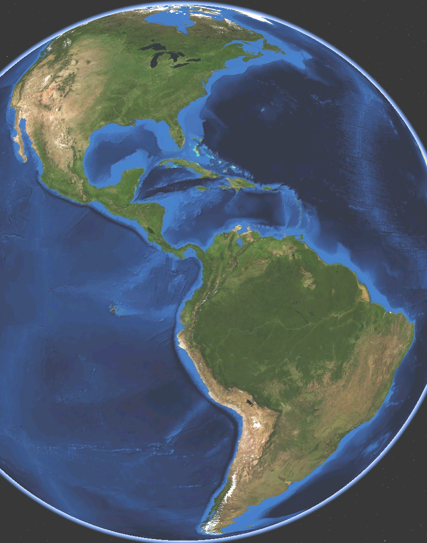
English: Satellite map of America. Land terrain and bathymetry (ocean-floor topography). |
| Rana | |
| Masomi | Own work by uploader, made with NASA World Wind. |
| Marubucin | Koyos |
| Other versions |
|


Lasisi
| I, the copyright holder of this work, release this work into the public domain. This applies worldwide. In some countries this may not be legally possible; if so: I grant anyone the right to use this work for any purpose, without any conditions, unless such conditions are required by law. |
Tarihin fayil
Ku latsa rana/lokaci ku ga fayil yadda yake a wannan lokaci
| Rana/Lokaci | Wadar sufa | Kusurwowi | Ma'aikaci | Bahasi | |
|---|---|---|---|---|---|
| na yanzu | 03:21, 15 ga Maris, 2009 | | 866 × 1,100 (470 KB) | Koyos | {{Information |Description={{en|1=Satellite map of America. Terrain and ocean topography.}} |Source=Own work by uploader, made with NASA World Wind. |Author=Koyos |Date=2009-03-15 |Permission= |other_versions= }} <!--{{ImageUpload|full}}-- |
Amfani da fayil
Wadannan shafi na amfani wannan fayil:
Amfanin fayil a ko'ina
Wadannan sauran wikis suna amfani da fayil din anan
- Amfani a kan ar.wikipedia.org
- Amfani a kan arz.wikipedia.org
- Amfani a kan ast.wikipedia.org
- Amfani a kan az.wikipedia.org
- Amfani a kan ba.wikipedia.org
- Amfani a kan ca.wikipedia.org
- Amfani a kan diq.wikipedia.org
- Amfani a kan en.wikipedia.org
- Amfani a kan et.wikipedia.org
- Amfani a kan fi.wikipedia.org
- Amfani a kan fr.wikipedia.org
- Amfani a kan ga.wikipedia.org
- Amfani a kan glk.wikipedia.org
- Amfani a kan ht.wikipedia.org
- Amfani a kan hy.wikipedia.org
- Amfani a kan ia.wikipedia.org
- Amfani a kan id.wikipedia.org
- Amfani a kan ig.wikipedia.org
- Amfani a kan incubator.wikimedia.org
- Amfani a kan it.wikipedia.org
- Bartolomé de Las Casas
- Cristoforo Colombo
- Alvise Da Mosto
- Antonio de Noli
- Antoniotto Usodimare
- Vasco Núñez de Balboa
- Sebastiano Caboto
- Naufragi
- Alonso de Ojeda
- Juan Díaz de Solís
- Vicente Yáñez Pinzón
- Leggi di Burgos
- Leggi nuove
- Giovanni Battista Ramusio
- La conquista dell'America. Il problema dell'altro
- Giovanni Caboto
- Pedro Alonso Niño
- Età delle scoperte
- Viaggi di Cristoforo Colombo
- La conquista del Messico 1517-1521
- Leggi delle Indie
- Delle navigationi et viaggi
- Pedro de Sintra
Duba ƙarin amfanin wannan fayil.