File:Tanzania relief location map.svg

Size of this PNG preview of this SVG file: 630 × 600 pixels. Wasu yarjejeniyoyi: 252 × 240 pixels | 504 × 480 pixels | 807 × 768 pixels | 1,076 × 1,024 pixels | 2,152 × 2,048 pixels | 3,302 × 3,143 pixels.
Hoton asali (Fayil kin SVG, saƙar fikisal 3,302 x 3,143, girman fayil: 3.1 MB)
Taƙaici
| Bayani |
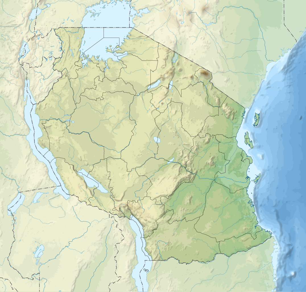
English: Relief location map of Tanzania.
Equirectangular projection. 1° N, 28° W, 42° E, -13° S. Center : -6.375, 35 Español: Mapa de georreferenciación de Tanzania. 1° N, 28° O, 42° E, -13° S. Centro : -6.375, 35
Français : Carte de géolocalisation du relief de la Tanzanie. Projection cylindrique équidistante. 1° N, 28° O, 42° E, -13° S. Centre : -6.375, 35 |
||
| Rana | (UTC) | ||
| Masomi | Derived from Tanzania_map-fr.svg | ||
| Marubucin | Sémhur | ||
| Other versions |
[]
| ||
| Jinginarwa (required by the license) | © Sémhur / Wikimedia Commons / | ||
| SVG | W3C-validity not checked.
|
||
| Graphic Lab |


| Object location | | View this and other nearby images on: OpenStreetMap |
|---|
Lasisi
I, the copyright holder of this work, hereby publish it under the following licenses:
| Copyleft: This work of art is free; you can redistribute it and/or modify it according to terms of the Free Art License. You will find a specimen of this license on the Copyleft Attitude site as well as on other sites. |
This file is licensed under the Creative Commons Attribution-Share Alike 4.0 International, 3.0 Unported, 2.5 Generic, 2.0 Generic and 1.0 Generic license.
- Za ka iya:
- a raba – dan kwafa, yadawa da aika aikin
- dan maimaita – dan daukar aikin
- A karkashin wannan sharuddan
- Jinginarwa – Dole ku bada jinjina da ta dace, samar da linki zuwa lasisin, da kuma bayyana ko kunyi sauyi. Zaku iya haka ta yadda ta dace, amma ba kowace hanya ba wanda zai nuna mai-lasisin yana goyon bayan ku ba ko goyon bayan amfanin da kuke yi ba.
- Yada ahaka – Idan kuka maimaita, sabuntawa, ko kari akan wannan, dole ku bayar da gudunmuwar ku karkashin iri daya ko lasisi data dace kamar na asali.
Ku na iya zaɓan lasisin da kuke so.
Original upload log
This image is a derivative work of the following images:
- File:Tanzania_map-fr.svg licensed with Cc-by-sa-3.0,2.5,2.0,1.0, GFDL
- 2009-03-20T13:30:18Z Sémhur 3096x3113 (3225659 Bytes) Ol Doinyo Lengaï was misplaced
- 2009-03-20T11:14:35Z Sémhur 3096x3113 (3224368 Bytes) Add location map and few summits.
- 2009-03-19T17:14:13Z Sémhur 3096x3113 (3099209 Bytes) grrr...
- 2009-03-19T17:08:18Z Sémhur 3096x3113 (3099244 Bytes) Oups ! It wasn't the valid one.
- 2009-03-19T17:05:02Z Sémhur 3096x3113 (3122421 Bytes) {{Information |Description={{en|1=Map of [[:en:Tanzania]].}} {{fr|1=Carte de la [[:fr:Tanzanie]].}} {{es|1=Mapa de [[:es:Tanzania]].}} |Source=travail personnel (own work). Sources of data: * Elevations : NASA SRTM3 (public d
Uploaded with derivativeFX
Tarihin fayil
Ku latsa rana/lokaci ku ga fayil yadda yake a wannan lokaci
| Rana/Lokaci | Wadar sufa | Kusurwowi | Ma'aikaci | Bahasi | |
|---|---|---|---|---|---|
| na yanzu | 20:32, 3 ga Maris, 2020 | | 3,302 × 3,143 (3.1 MB) | Sémhur | Modifying Tanzanian border claim (from https://www.nbs.go.tz/index.php/en/census-surveys/gis/385-2012-phc-shapefiles-level-one-and-two) |
| 20:18, 28 ga Yuni, 2017 |  | 3,302 × 3,143 (3.09 MB) | Sémhur | Update with Songwe region | |
| 14:11, 28 Disamba 2013 |  | 3,096 × 2,947 (3.1 MB) | Sémhur | Updated with the four new regions | |
| 15:17, 3 Mayu 2009 |  | 3,096 × 2,947 (3.55 MB) | Sémhur | Adding border between Arusha and Manyara | |
| 18:58, 1 Mayu 2009 |  | 3,096 × 2,947 (3.54 MB) | Sémhur | {{int:summary}} {{Information |Description={{en|1=Relief location map of en:Tanzania.}} {{fr|1=Carte de géolocalisation du relief de la fr:Tanzanie.}} {{es|1=Mapa de georreferenciación de es:Tanzania.}} Equirectangular projection. 0.25� |
Amfani da fayil
Wadannan shafi na amfani wannan fayil:
Amfanin fayil a ko'ina
Wadannan sauran wikis suna amfani da fayil din anan
- Amfani a kan af.wikipedia.org
- Amfani a kan als.wikipedia.org
- Amfani a kan ar.wikipedia.org
- Amfani a kan ast.wikipedia.org
- Amfani a kan as.wikipedia.org
- Amfani a kan avk.wikipedia.org
- Amfani a kan av.wikipedia.org
- Amfani a kan azb.wikipedia.org
- Amfani a kan az.wikipedia.org
- Amfani a kan ban.wikipedia.org
- Amfani a kan ba.wikipedia.org
Duba ƙarin amfanin wannan fayil.