File:Northern Nigeria2.jpg
Yanayin wannan rigayi gani: 652 × 599 pixels. Wasu yarjejeniyoyi: 261 × 240 pixels | 522 × 480 pixels | 853 × 784 pixels.
Hoton asali (pikisal 853 × 784, girman fayil: 181 KB, irin MIME: image/jpeg)

|
This map image could be re-created using vector graphics as an SVG file. This has several advantages; see Commons:Media for cleanup for more information. If an SVG form of this image is available, please upload it and afterwards replace this template with
{{vector version available|new image name}}.
It is recommended to name the SVG file “Northern Nigeria2.svg”—then the template Vector version available (or Vva) does not need the new image name parameter. |


Taƙaici
| Bayani |
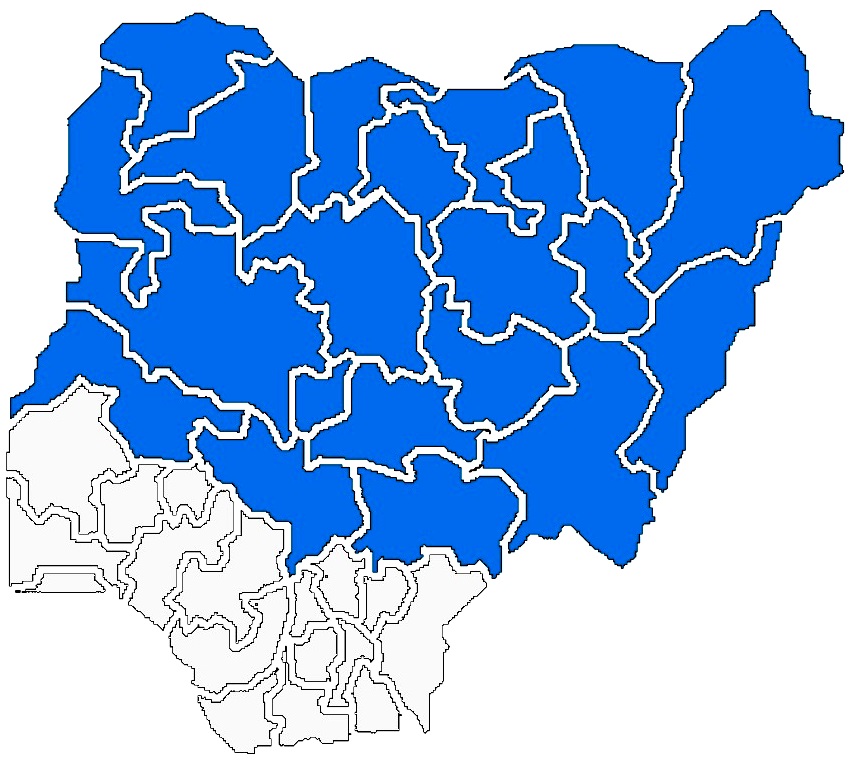
English: Political Map of Northern Nigeria |
| Masomi | Edited from the Original By: Geographical Society of the North |
| Marubucin | Alaminalpha |
Lasisi
I, the copyright holder of this work, hereby publish it under the following license:
This file is licensed under the Creative Commons Attribution 3.0 Unported license.
- Za ka iya:
- a raba – dan kwafa, yadawa da aika aikin
- dan maimaita – dan daukar aikin
- A karkashin wannan sharuddan
- Jinginarwa – Dole ku bada jinjina da ta dace, samar da linki zuwa lasisin, da kuma bayyana ko kunyi sauyi. Zaku iya haka ta yadda ta dace, amma ba kowace hanya ba wanda zai nuna mai-lasisin yana goyon bayan ku ba ko goyon bayan amfanin da kuke yi ba.
Tarihin fayil
Ku latsa rana/lokaci ku ga fayil yadda yake a wannan lokaci
| Rana/Lokaci | Wadar sufa | Kusurwowi | Ma'aikaci | Bahasi | |
|---|---|---|---|---|---|
| na yanzu | 21:00, 21 ga Yuni, 2020 | | 853 × 784 (181 KB) | IbrahimBA240 | Reverted to version as of 17:11, 26 February 2020 (UTC) |
| 12:28, 16 Mayu 2020 |  | 800 × 616 (102 KB) | Jamie Tubers | Reverted to version as of 16:16, 29 December 2016 (UTC) | |
| 17:11, 26 ga Faburairu, 2020 |  | 853 × 784 (181 KB) | IbrahimBA240 | Reverted to version as of 17:39, 4 November 2014 (UTC) | |
| 16:16, 29 Disamba 2016 |  | 800 × 616 (102 KB) | Jamie Tubers | better clarity | |
| 17:39, 4 Nuwamba, 2014 |  | 853 × 784 (181 KB) | Alaminalpha | {{Information |Description ={{en|1=Political Map of Northern Nigeria}} |Source =Edited from the Original By: Geographical Society of the North |Author =Alaminalpha |Date = |Permission = |other_versions = }} |
Amfani da fayil
Wadannan shafi na amfani wannan fayil:
Amfanin fayil a ko'ina
Wadannan sauran wikis suna amfani da fayil din anan
- Amfani a kan ar.wikipedia.org
- Amfani a kan ru.wikipedia.org