File:MINT countries.png
Yanayin wannan rigayi gani: 800 × 353 pixels. Wasu yarjejeniyoyi: 320 × 141 pixels | 640 × 282 pixels | 1,425 × 628 pixels.
Hoton asali (pikisal 1,425 × 628, girman fayil: 53 KB, irin MIME: image/png)
e não sobre MIKT (Q40115539).
Taƙaici
| Bayani |
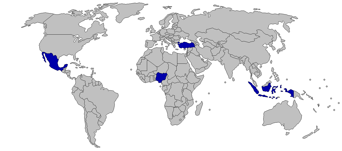
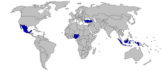
English: MINT
MINT - Mexico, Indonesia, Nigeria, Turkey Português: As Potências regionais. |
||
| Rana | 2012-04-19, 2014-06-16 (current) | ||
| Masomi | Aikin na | ||
| Marubucin | Kaiserble (talk), Viller the Great (talk) | ||
| Izini (Sake amfani da wannan fayil) |
|
||
| Other versions |
|

Lasisi
I, the copyright holder of this work, hereby publish it under the following license:
Wannan fayil ɗin an bada lasisin shi ƙarƙashin Creative Commons Attribution-Share Alike 3.0 Unported lasisi.
- Za ka iya:
- a raba – dan kwafa, yadawa da aika aikin
- dan maimaita – dan daukar aikin
- A karkashin wannan sharuddan
- Jinginarwa – Dole ku bada jinjina da ta dace, samar da linki zuwa lasisin, da kuma bayyana ko kunyi sauyi. Zaku iya haka ta yadda ta dace, amma ba kowace hanya ba wanda zai nuna mai-lasisin yana goyon bayan ku ba ko goyon bayan amfanin da kuke yi ba.
- Yada ahaka – Idan kuka maimaita, sabuntawa, ko kari akan wannan, dole ku bayar da gudunmuwar ku karkashin iri daya ko lasisi data dace kamar na asali.
Tarihin fayil
Ku latsa rana/lokaci ku ga fayil yadda yake a wannan lokaci
| Rana/Lokaci | Wadar sufa | Kusurwowi | Ma'aikaci | Bahasi | |
|---|---|---|---|---|---|
| na yanzu | 08:42, 10 ga Augusta, 2014 | | 1,425 × 628 (53 KB) | Viller the Great | Better version |
| 00:47, 28 ga Yuni, 2014 |  | 1,373 × 661 (49 KB) | Viller the Great | Reverted to version as of 02:43, 26 May 2014 | |
| 02:17, 17 ga Yuni, 2014 |  | 1,373 × 661 (48 KB) | Viller the Great | This map will include Australia, another one will be made. | |
| 02:43, 26 Mayu 2014 |  | 1,373 × 661 (49 KB) | Viller the Great | Reverted to version as of 04:02, 22 November 2013 | |
| 03:29, 25 ga Afirilu, 2014 |  | 1,373 × 661 (48 KB) | Viller the Great | Better version, also including Australia | |
| 05:23, 2 ga Janairu, 2014 |  | 1,373 × 661 (49 KB) | Viller the Great | Corrected map to the MIST, with Nigeria being possibly included | |
| 04:02, 22 Nuwamba, 2013 |  | 1,373 × 661 (49 KB) | Viller the Great | The new list is knowns as the MINTs, sometimes adding an "S" for South Korea. | |
| 13:35, 19 ga Afirilu, 2012 |  | 1,373 × 661 (54 KB) | Kaiserble |
Amfani da fayil
Wadannan shafi na amfani wannan fayil:
Amfanin fayil a ko'ina
Wadannan sauran wikis suna amfani da fayil din anan
- Amfani a kan de.wikipedia.org
- Amfani a kan fa.wikipedia.org
- Amfani a kan fi.wikipedia.org
- Amfani a kan hy.wikipedia.org
- Amfani a kan ru.wikipedia.org
- Amfani a kan tr.wikipedia.org
- Amfani a kan www.wikidata.org