Fayil:Algeria 09 Wilaya locator map-2009.svg

Size of this PNG preview of this SVG file: 508 × 500 pixels. Wasu yarjejeniyoyi: 244 × 240 pixels | 488 × 480 pixels | 780 × 768 pixels | 1,040 × 1,024 pixels | 2,081 × 2,048 pixels.
Hoton asali (Fayil kin SVG, saƙar fikisal 508 x 500, girman fayil: 70 KB)
Taƙaici
| Bayani | |||
| Rana | |||
| Masomi |
Aikin na
|
||
| Marubucin | Eric Gaba (Sting - fr:Sting) | ||
| Izini (Sake amfani da wannan fayil) |
|
Lasisi
I, the copyright holder of this work, hereby publish it under the following licenses:
Wannan fayil ɗin an bada lasisin shi ƙarƙashin Creative Commons Attribution-Share Alike 3.0 Unported lasisi.
- Za ka iya:
- a raba – dan kwafa, yadawa da aika aikin
- dan maimaita – dan daukar aikin
- A karkashin wannan sharuddan
- Jinginarwa – Dole ku bada jinjina da ta dace, samar da linki zuwa lasisin, da kuma bayyana ko kunyi sauyi. Zaku iya haka ta yadda ta dace, amma ba kowace hanya ba wanda zai nuna mai-lasisin yana goyon bayan ku ba ko goyon bayan amfanin da kuke yi ba.
- Yada ahaka – Idan kuka maimaita, sabuntawa, ko kari akan wannan, dole ku bayar da gudunmuwar ku karkashin iri daya ko lasisi data dace kamar na asali.

|
An bada damar a kofa, a yaɗa/ko sauya wannan kundi ƙarƙashin Lasisin GNU ta kyauta, Fitarwa na 1.2 ko duk wani fitarwa da zai biyo baya daga Gidauniyar Samar da Software ta Kyauta; ba tare da sauyin sashe ba, babu Rubutun Fuskar gaban shafi, kuma babu Rubutun bayan shafi. Kofi na lasisin na nan an sanya sa aciki ƙarƙashin sashen GNU Free Documentation License. |
Ku na iya zaɓan lasisin da kuke so.
Tarihin fayil
Ku latsa rana/lokaci ku ga fayil yadda yake a wannan lokaci
| Rana/Lokaci | Wadar sufa | Kusurwowi | Ma'aikaci | Bahasi | |
|---|---|---|---|---|---|
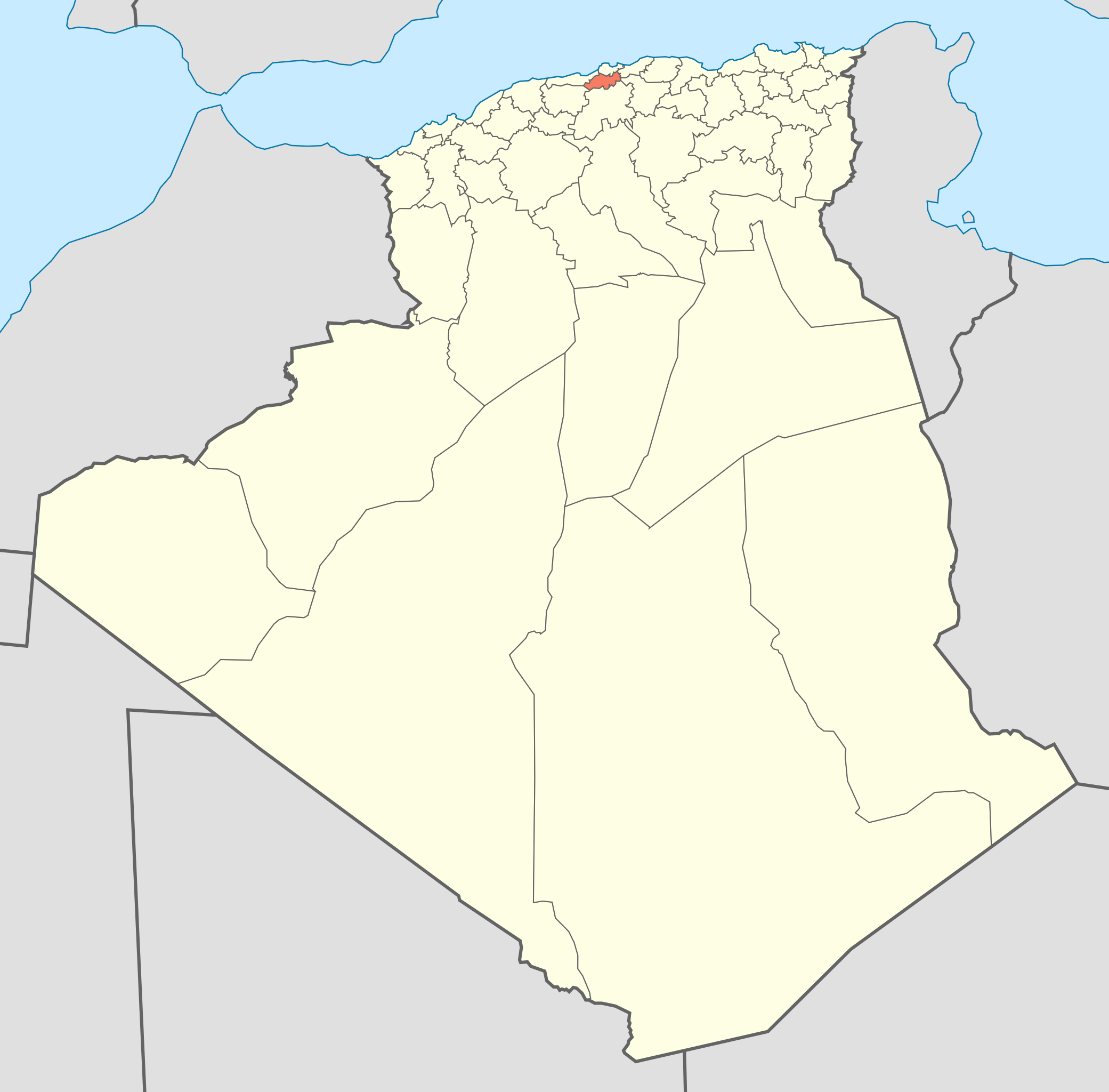
| na yanzu | 16:43, 19 Nuwamba, 2009 | | 508 × 500 (70 KB) | Sting | {{Information |Description={{en|Locator map of the Blida Province, Algeria, as in 2009.}} {{fr|Carte de localisation de la Wilaya de Blida, Algérie, telle qu'en 2009.}} |Sour |
Amfani da fayil
Wadannan shafi na amfani wannan fayil:
Amfanin fayil a ko'ina
Wadannan sauran wikis suna amfani da fayil din anan
- Amfani a kan ig.wikipedia.org
- Amfani a kan sv.wikipedia.org
- Amfani a kan sw.wikipedia.org